
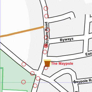
At the southern end of Hitcham Road
Photograph taken 2002-09-13
| A Walk Around Taplow | Home | Large map |
|
|
At the southern end of Hitcham Road
Photograph taken 2002-09-13 |
Footway and hedges with brick house beyond. Part of the Maypole public house visible on the right.

|

|

|

|

|

All
images are © Andrew Findlay 2002-2007 and licensed under a
Creative Commons Attribution-Share Alike 3.0 License.
 Maps are derived from OpenStreetMap
data, licenced under the Creative Commons
Attribution Share-Alike 2.0 licence.
Maps are derived from OpenStreetMap
data, licenced under the Creative Commons
Attribution Share-Alike 2.0 licence.