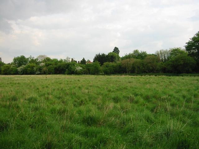
Photograph img_1404.jpg

On footpath near gas holder
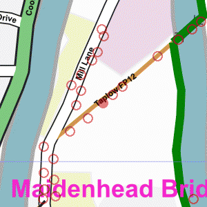

Map of location 340 Location 253 Location 142 Location 141 Location 338 Location 337 Location 336 Location 335 Location 334 Location 140 Location 339 Location 333 Location 340 Location 351 Location 332 Location 162 Location 331 Location 330 Location 329 Location 163 Location 139 Location 143 Location 328 Location 326 Location 341 Location 342

Photograph taken 2002-05-07

Grassy field with trees in the distance.

Low chainlink fence with field and trees beyond.
Low brick building with large pipes on the right. Footpath with low chainlink fence on left.
Gas holder in the distance.
Small Horse Chestnut tree. Footpath with trees on the left and scrubby field on the right.
Trees in the distance. Grassy field with trees in the distance. Footpath with grassy field on the left and trees in the distance. Footpath with low fence on the right.
Trees and elecricity sub-station.


Creative Commons License
All images are © Andrew Findlay 2002-2007 and licensed under a Creative Commons Attribution-Share Alike 3.0 License.

Some Rights Reserved Maps are derived from OpenStreetMap data, licenced under the Creative Commons Attribution Share-Alike 2.0 licence.