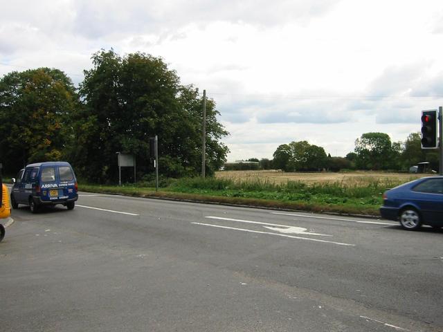
Photograph img_3076.jpg

At the junction of Station Road with the A4 Bath Road
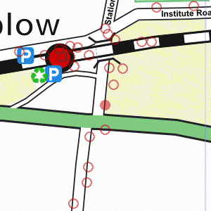

Map of location 280 Location 315 Location 262 Location 263 Location 267 Location 265 Location 266 Location 347 Location 269 Location 264 Location 346 Location 345 Location 268 Location 344 Location 272 Location 280 Location 343 Location 273 Location 275 Location 279 Location 274 Location 278 Location 277 Location 276 Location 208 Location 207

Photograph taken 2002-09-24

Road with trees and field beyond. Traffic lights on right.

Bushes and trees with road-name sign for Station Road. Road with trees and scrub on left, buildings on right.
Street-light pole and height-limit sign.
Signs for national speed limit. Three storey building with brick corners and ground floor, rendered upper floors.
Police badge in centre of upper level on right.
Roadsigns, traffic lights, and roadworks. Road junction with digger and dump-truck.
Hedge and building on left.
Telephone pole and street-light.
Trees on right. Road with trees and field beyond.
Traffic lights on right. Road with field and trees beyond.
Traffic lights and roadsigns. Road junction with traffic lights on central island.
Trees in the background with sign to Dorney Reach.
Sign: "No access to Dorney Lake construction traffic"
Road-name sign for Marsh Lane.
Road junction with trees and street-light.
Telephone poles. Road on left with bus-stop.
Telephone pole and trees on right.


Creative Commons License
All images are © Andrew Findlay 2002-2007 and licensed under a Creative Commons Attribution-Share Alike 3.0 License.

Some Rights Reserved Maps are derived from OpenStreetMap data, licenced under the Creative Commons Attribution Share-Alike 2.0 licence.