
At eastern end of Taplow Lake
Photograph taken 2002-12-05
| A Walk Around Taplow | Home | Large map |
|
|
At eastern end of Taplow Lake
Photograph taken 2002-12-05 |
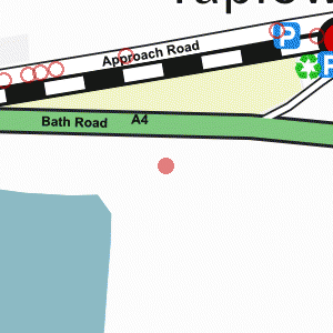
The A4 Bath Road with bank of dark trees on the far side. GIVE WAY signs.

|

|

|

|

|

|

All
images are © Andrew Findlay 2002-2007 and licensed under a
Creative Commons Attribution-Share Alike 3.0 License.
 Maps are derived from OpenStreetMap
data, licenced under the Creative Commons
Attribution Share-Alike 2.0 licence.
Maps are derived from OpenStreetMap
data, licenced under the Creative Commons
Attribution Share-Alike 2.0 licence.