Photograph img_3386.jpg

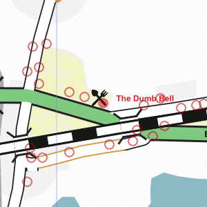
On the A4 Bath Road outside the Dumb Bell


Map of location 306 Location 125 Location 152 Location 153 Location 154 Location 155 Location 295 Location 296 Location 297 Location 298 Location 299 Location 300 Location 301 Location 302 Location 303 Location 304 Location 305 Location 306 Location 307 Location 308 Location 309 Location 310 Location 311 Location 312

Photograph taken 2002-09-24

Road with Shell petrol station on far side. Large trees. Road sign giving directions to Maidenhead, Taplow, Bourne End.

Looking east on the A4 Bath Road.
Tarmac pavement on left with grass verge and row of trees.
Large brick arch railway bridge in the background. Road with fence and trees on the far side.
Large Scots Pine trees in the background.
Road sign: "Services" Road with Shell petrol station on far side.
Large trees.
Road sign giving directions to Maidenhead, Taplow, Bourne End. Looking west on the A4 Bath Road.
Large tree at entrance to petrol station on left.
Bus-stop and pub sign on right. Looking west on the A4 Bath Road.
Road on the left with bus stop on near side.
Low wooden railings.
Harvester pub sign for the Dumb Bell.
Sign in grass: "2 course Sunday Spit Roasts £6.95"
Car-park with pub builidng on far right. The Dumb Bell.
Pub and Harvester restaurant: two-storey building with dark tiled roof.
Car-park and grassy areas in front of pub. Eastern part of the Dumb Bell.
Two-storey building with single-storey addition on right, both with tiled roofs.
Car-parking area in fornt.
Fields and trees on the right with spire of St Nicolas church just visible on the skyline.
Car-park with harvester restaurant building on left.
White picket fence with playing fields beyond.
Large tree on right.


Creative Commons License
All images are © Andrew Findlay 2002-2007 and licensed under a Creative Commons Attribution-Share Alike 3.0 License.

Some Rights Reserved Maps are derived from OpenStreetMap data, licenced under the Creative Commons Attribution Share-Alike 2.0 licence.