Photograph img_2795.jpg

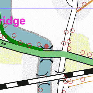
On the A4 Bath Road just east of the Jubilee River


Map of location 249 Location 124 Location 125 Location 126 Location 152 Location 153 Location 154 Location 155 Location 246 Location 247 Location 248 Location 249 Location 250 Location 251 Location 252 Location 253 Location 294 Location 295 Location 296 Location 297 Location 298 Location 299 Location 307 Location 308

Photograph taken 2002-09-05

Road with tarmac pavements each side. Wooden slat fences on far side with Horse Chestnut trees behind them. White house-name signs for Chelston. Houses just visible through the trees. Street-light pole.

Looking east on the A4 Bath Road.
Grass verge with wooden slat fence and trees on left.
Traffic lights at junction with Berry Hill.
Trees on right. Road with tarmac pavements each side.
Wooden slat fences on far side with Horse Chestnut trees behind them.
White house-name signs for Chelston.
Houses just visible through the trees.
Street-light pole. Road with trees and brown wooden slat fence on far side.
Driveway with five-bar gate leading to white garage doors.
Upper storey of house visible over the fence: red bricks, white window-frames, dark tile roof.
Roadsign warning of school. Road and bridge with temporary traffic barriers.
Houses in distance. Tarmac footpath leading to pedestrian bridge across the Jubilee River.
Bridge has galvanised metal railings both sides.
Trees on far side of river.
Newly-planted trees in verge on left.


Creative Commons License
All images are © Andrew Findlay 2002-2007 and licensed under a Creative Commons Attribution-Share Alike 3.0 License.

Some Rights Reserved Maps are derived from OpenStreetMap data, licenced under the Creative Commons Attribution Share-Alike 2.0 licence.