Photograph img_2735.jpg

At the entrance to Hermitage House


Map of location 237 Location 37 Location 141 Location 142 Location 174 Location 175 Location 176 Location 177 Location 178 Location 179 Location 180 Location 181 Location 182 Location 183 Location 184 Location 185 Location 215 Location 216 Location 217 Location 218 Location 221 Location 222 Location 223 Location 224 Location 225 Location 226 Location 227 Location 228 Location 229 Location 230 Location 231 Location 232 Location 233 Location 234 Location 235 Location 236 Location 237 Location 238 Location 239 Location 240 Location 241 Location 242 Location 243 Location 244 Location 245 Location 246 Location 335 Location 336 Location 337 Location 338 Location 350

Photograph taken 2002-09-05
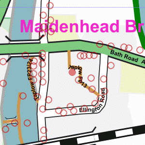
Small car-park set between trees and house. Large house on right now used as offices - sign on wall says "MaST" Lower floor of house obscured by bushes. Upper floor has pebbledash between white-painted timbers. Dark tile roof.

Privet hedge with tall conifer tree behind it.
Three-storey brick-built flats behind tree.
Tarmac driveway to Bath Road on right. Tarmac driveway from Hermitage House to the Bath Road.
Privet hedge on left with three-storey brick-built flats behind it.
Large trees overhanging at junction with Bath Road.
Wooden slat fence on right. Gravelled parking area with brick garage on left.
Public footpath passes just to the right of the white pillar in the centre of the picture, but is not marked at this point.
Red tile-hung house behind parked van.
Ivy-covered wall on right.
Telephone pole. Small car-park set between trees and house.
Large house on right now used as offices - sign on wall says "MaST"
Lower floor of house obscured by bushes.
Upper floor has pebbledash between white-painted timbers.
Dark tile roof. Tall privet hedge with roof of flats visible above it.


Creative Commons License
All images are © Andrew Findlay 2002-2007 and licensed under a Creative Commons Attribution-Share Alike 3.0 License.

Some Rights Reserved Maps are derived from OpenStreetMap data, licenced under the Creative Commons Attribution Share-Alike 2.0 licence.