Photograph img_0382.jpg

Junction of footpaths south of Taplow village


Map of location 31 Location 2 Location 4 Location 21 Location 22 Location 23 Location 24 Location 26 Location 27 Location 30 Location 31 Location 32 Location 33 Location 34 Location 35 Location 36 Location 43 Location 44 Location 128 Location 158 Location 159 Location 160

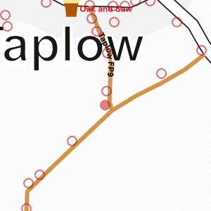
Photograph taken 2002-01-01

Footpath, with fence and trees on the left. Open field on the right.

Field and hedge Iron kissing-gate where footpath enters field.
Three-way footpath sign.
Ivy-covered trees.
Wire fences. Open field, with group of houses on Boundary Road in the distance. Footpath, with fence and trees on the left.
Open field on the right. Grassy field.
Houses and tall trees in the distance.
New wire fence on the right. Open field, with new wire fence.
Trees in the background. Open field with new wire fence.
Footpath through grassy field.
New wire fence and newly-planted trees on the left. Open field with new wire fences.
Looking into the sun, with trees on the right.


Creative Commons License
All images are © Andrew Findlay 2002-2007 and licensed under a Creative Commons Attribution-Share Alike 3.0 License.

Some Rights Reserved Maps are derived from OpenStreetMap data, licenced under the Creative Commons Attribution Share-Alike 2.0 licence.